Architectural Models for Urban Planning Presentations
Learn how physical architectural models help urban planners communicate complex projects to stakeholders and government bodies in East Africa.
See everything Moriasi3D Models can do for you.
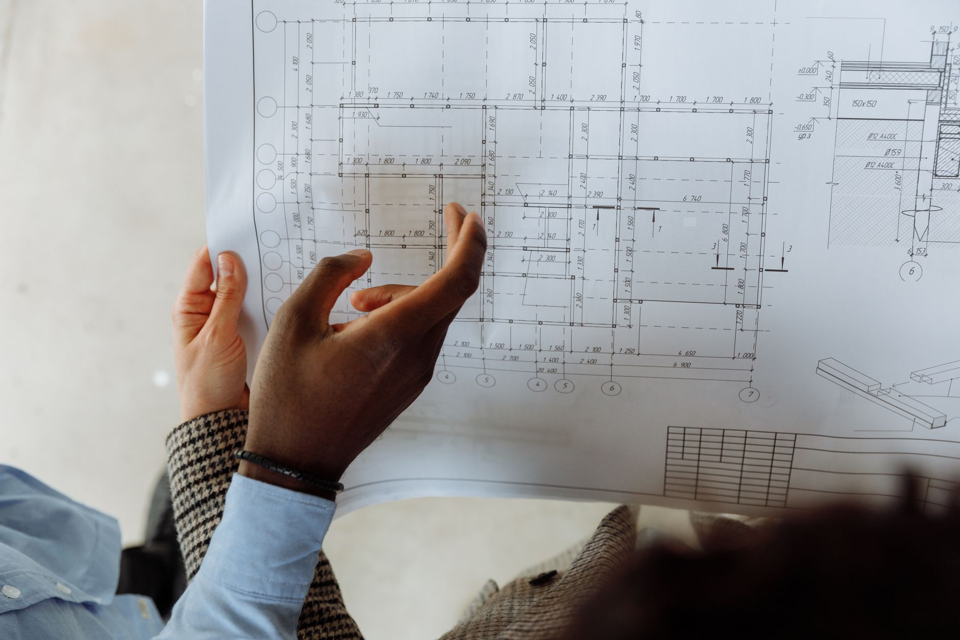
Urban planning presentations live or die on clarity. When a development proposal lands in front of a Nairobi county committee or a community stakeholder group, the people in that room come with very different levels of technical experience. A well-built physical architectural model cuts through that gap immediately, giving everyone around the table something they can understand, point at, and discuss without needing to interpret drawings or software renders.
This article is part of our complete guide: Architectural Models for Houses.
Why Urban Planners Need Physical Models
Government bodies and municipal councils in Kenya consistently ask for tangible visualizations before approving large-scale development plans. A printed drawing, however detailed, still demands that the viewer mentally assemble a three-dimensional picture. Physical models remove that cognitive leap entirely, placing a scaled representation of the proposal directly in front of the decision makers. This is especially true when submissions go before multi-department review panels that include engineers, environmental officers, and elected officials all at once. Each of those reviewers can engage with a model on their own terms without needing a specialist to translate. That shared understanding tends to shorten review cycles and reduce the number of clarification requests that bounce a project back to the applicant.
Physical models communicate scale, massing, and spatial relationships in a way that flat drawings simply cannot replicate. Standing a model on a table, you can immediately see how a proposed apartment block relates to the street below it, or how a new public square connects to surrounding roads. Planners use this spatial reading to identify design problems long before construction begins. A drawing might show a building footprint accurately, but it rarely conveys how that footprint will feel to a pedestrian walking past it. Models answer that question at a glance. They also make it far easier to discuss density, setbacks, and open space without the conversation drifting into abstraction.
Urban planning proposals often involve presenting complex city improvements to audiences with widely varying technical backgrounds. Community members, local business owners, and neighborhood representatives are legitimate stakeholders whose support matters to the approval process, yet they rarely read architectural drawings fluently. A physical model invites them into the conversation on equal footing, because the visual logic is immediate and intuitive. Presenting to this kind of mixed audience with a model in the room changes the quality of feedback you receive. People ask more specific questions and raise more concrete concerns, which means planners can respond with precision rather than reassurance. That kind of engagement builds trust, and trust is often what moves a project from proposal to approval.
Key Elements Urban Planning Models Must Include
Accurate terrain and topography are the foundation of any urban planning model because development always sits within an existing landscape. In Nairobi, where elevation changes significantly across neighborhoods such as Karen, Westlands, and the Ngong Road corridor, ignoring topography produces a model that misleads rather than informs. Planners need to see how a proposed development responds to slope, drainage patterns, and existing land contours. A flat base board might be quicker to produce, but it removes the very information that determines whether a project is buildable as designed. Getting the terrain right from the start means every subsequent detail sits in its correct relationship to the ground. This accuracy matters most when the site includes significant gradients or sits adjacent to natural features like wetlands or ridgelines.
Surrounding context matters almost as much as the project itself in a planning model. Including neighboring buildings, road networks, and existing infrastructure gives reviewers an accurate sense of scale and helps them evaluate how the new development will integrate with what is already there. A proposed commercial tower reads very differently when you can see the two-storey residential buildings surrounding it at the correct scale. Context also makes it possible to assess setbacks, shadow impact, and traffic flow in a realistic way. Leaving the surrounding area blank forces reviewers to fill in those gaps from memory or imagination, which introduces uncertainty and often objection. A well-contextualized model answers questions before they are asked.
Street-level details like landscaping, transport corridors, pedestrian paths, and public spaces tell the story of how a development will actually be used day to day. Planners and communities care deeply about what happens at ground level, because that is where residents and visitors will experience the project. Including street trees, bus stops, cycling lanes, and park benches brings the model to life in a way that purely architectural massing cannot. These elements also signal to approval bodies that the applicant has thought through the project holistically rather than focusing only on building volume. In Nairobi's planning context, where pedestrian infrastructure and matatu routes are central public concerns, showing those elements in a model demonstrates genuine responsiveness to the city's realities. It is a detail that earns credibility in the room.
Lighting is a feature that many urban planning models overlook, but it adds a dimension of realism that genuinely aids decision-making. Fibre optic or LED lighting built into a model can demonstrate how a development will look at night, how street lighting will distribute across public spaces, and how illuminated signage will interact with surrounding buildings. For projects that include commercial or mixed-use elements, this kind of demonstration addresses concerns about light pollution or inadequate public safety lighting before they become objections. Planning committees in Kenya are increasingly attentive to the nighttime character of urban spaces. A model that shows both daytime massing and nighttime illumination gives reviewers a more complete picture than one that only captures a single moment in time. That completeness reflects well on the seriousness of the proposal.
Models for Different Planning Stages
Massing models serve the earliest phase of a project, when the primary questions are about overall form, density, and how a development occupies its site. At this stage, fine detail is less important than getting the broad volumes right and testing how different arrangements of building mass interact with each other and with the site boundaries. These models are typically produced at a smaller scale and with simpler materials because they are working tools rather than presentation pieces. Architects and planners use them to make decisions quickly, sometimes comparing two or three massing options side by side. In East Africa's fast-moving development environment, having a physical massing model to anchor early team discussions saves significant time during design development. It also creates a record of design intent that can be referenced throughout the project.
Detailed neighborhood models come into their own during the community engagement and planning approval stages, when accuracy and visual quality become critical. At this point, the project is defined enough to warrant proper material representation, accurate window placements, and realistic landscaping. These models are often the ones that appear in public exhibitions or sit on the table during county hearings. They need to be robust enough to be handled by multiple people across multiple sessions without losing their precision. Getting this model right is an investment in the approval process, because a poorly finished model can undermine confidence in the project just as effectively as a poorly written report. The level of craftsmanship in the model communicates the level of professionalism behind the project.
Infrastructure models focus on utilities, drainage systems, and transportation networks, which are the invisible skeleton of any urban development. These models are particularly relevant for large-scale master plans where underground services and surface transport are as important as the buildings above. Planning engineers use them to demonstrate that water supply, sewerage, stormwater drainage, and road capacities have been properly considered. In Kenya, where infrastructure provision is a central concern for both county governments and communities, showing these systems in physical form makes a strong case for project viability. Infrastructure models can be produced as standalone pieces or integrated into a broader site model using removable sections that reveal what lies beneath the surface. Either approach gives reviewers information they could not easily extract from engineering drawings alone.
Phased development models are a powerful tool when a project will be delivered in stages over several years or even decades. Showing each phase as a removable or addable element allows planners to walk stakeholders through the sequence of development, explaining what will be built when and what the site will look like at each milestone. This approach is particularly useful for large mixed-use developments or urban regeneration projects where early phases need to function independently while later phases are still under construction. Phased models also help communicate to investors and funding bodies that the project has been planned with realistic sequencing in mind. In East Africa, where financing often comes in tranches tied to delivery milestones, this kind of clarity can directly support the financial case for a development. It transforms a long-term vision into a legible, manageable story.
Navigating East Africa's Regulatory Requirements
Counties and municipalities across Kenya have raised their expectations for the quality of visual aids submitted alongside planning applications. Nairobi County, along with growing urban centres in Mombasa, Kisumu, and Nakuru, increasingly expects submissions to go beyond basic drawings and include professional three-dimensional representations of proposed developments. This shift reflects broader efforts to improve transparency and public participation in urban planning decisions. Meeting that expectation with a high-quality physical model signals that an applicant understands the process and respects the review body's need for clear information. Submitting a model that is well-built and accurately scaled is not just a formality. It is a strategic move that positions the project favorably from the first point of contact with the approvals process.
A professionally made model demonstrates to planning authorities that the applicant has made a serious investment in preparing their submission. Approval bodies respond to that signal because it suggests the project is real, well-resourced, and likely to be delivered as presented. In competitive environments where multiple proposals may be under consideration, the quality of supporting materials can influence how a project is perceived and prioritized. A detailed model shows that the applicant has thought carefully about what the development will look like in context, not just on paper. It also reduces the likelihood of approval conditions being attached because reviewers can see the design intent clearly rather than having to guess at it. Professionalism in the submission materials builds confidence in the project itself.
Physical models are particularly effective during public hearings, where neighbor concerns and environmental impact questions can derail an otherwise sound proposal. When objectors can see a model and point to specific elements, the conversation becomes concrete rather than speculative. Planners can address concerns about building height, proximity to boundaries, or the impact on existing views by referring directly to what is visible in the model. Environmental questions about stormwater runoff, tree removal, or open space provision are much easier to answer with a physical representation on the table. In Kenya's public participation framework, which requires genuine engagement with affected communities, having a model present demonstrates a commitment to transparent communication. It often turns opposition into informed dialogue, which is a far more productive outcome for everyone involved.
From Design to Presentation Model
The process of building an accurate urban planning model begins with your architect's drawings and CAD files, which provide the dimensional data needed to work from. At Moriasi3D Models, we review the design documentation carefully before starting work, asking questions where information is ambiguous or incomplete. This stage matters because errors in the source drawings, if not caught early, translate directly into errors in the model. We work with a range of file formats and can liaise with your design team to resolve any gaps in the documentation. Clear communication at the start of the process protects both the timeline and the accuracy of the finished model. A thorough design review also allows us to flag potential challenges before they become problems during fabrication.
Choosing the right scale is one of the most important decisions in the model-making process, because it determines how much detail is legible and how the model will function in its presentation setting. A large urban masterplan covering several hectares typically works well at a scale of 1:500 or 1:1000, where the full extent of the site is visible without the model becoming unwieldy. A single block or neighborhood detail model might be produced at 1:200 or 1:100 to show street-level elements clearly. The intended presentation venue also matters. A model that will sit on a large boardroom table needs different proportions than one that will be displayed in a public exhibition space. We advise clients on scale selection based on site size, detail requirements, and the practical realities of transport and display.
Material and finish selection shapes both the visual impact of the model and its practical durability through repeated use. For urban planning models that will go through multiple presentations and public exhibitions, we choose materials that hold up to handling while still conveying the intended aesthetic. Landscaping elements, building surfaces, and public realm details can be rendered in ways that either represent finished materials realistically or adopt a more schematic, neutral palette that keeps the focus on spatial relationships rather than specific finishes. The choice depends on what the client needs the model to communicate at that particular stage of the project. We discuss these options during the initial briefing so that the finished model serves its specific purpose effectively. Durability and presentation value are not competing concerns; the right material choices achieve both.
Delivery timelines for urban planning models need to align with your presentation or submission schedule, and planning ahead is the single most effective way to ensure that alignment. Complex models for large sites can take several weeks to complete, and that lead time needs to be factored into your project programme from the outset. We provide clients with a realistic timeline at the start of the engagement and flag any risks to that timeline as work progresses. For clients outside Nairobi, we also plan the logistics of getting the model safely to its destination, whether that is a county office in another town or a client's boardroom in a different part of the city. A model that arrives damaged or late does not serve its purpose, so we treat delivery as seriously as fabrication. Explore more about how we support clients through the full process on our services page.
Getting Started with Your Urban Planning Model
Starting a conversation with Moriasi3D Models is straightforward. Bring your project drawings, your planning timeline, and a clear sense of where and how the model will be used, and we have everything we need to begin an initial assessment. Early engagement gives us the most flexibility to advise on scale, materials, and construction approach, and gives you the most time to incorporate the model into your presentation preparation. We work with clients at all stages of a project, from early massing studies through to final presentation models for county submissions. Reaching out before you feel fully ready is always better than reaching out when a deadline is already pressing. The earlier the conversation starts, the better the outcome for everyone.
Once we understand your project, we assess its complexity and recommend the scale and materials that will best serve your specific planning context. That recommendation is based on the type of submission you are making, the audience who will receive the model, and the detail level your design has reached at that point. We have worked on models for urban planning projects across East Africa and bring that accumulated experience directly to bear on each new brief. Our advice is practical and grounded in what actually works in Kenyan planning environments, not just what looks impressive in theory. Every recommendation is made with your deadline and budget in mind. We want the model to do its job, and that starts with choosing the right approach from the beginning.
Throughout the build, we provide regular progress updates so you can see how the model is developing and raise any questions before the work is complete. This is especially important for complex urban planning models where the design brief may evolve as your own planning process develops. Keeping clients informed at each stage means that adjustments can be made without disrupting the overall timeline. We see the model-making process as a collaboration rather than a transaction, and regular communication is what makes that collaboration work. By the time the model reaches your hands, you should already know exactly what to expect. That confidence matters when you are standing in front of a planning committee.
A strong physical model is one of the most effective tools an urban planner can bring to a presentation, and the investment in getting it right pays dividends throughout the approval process. Whether you are presenting to a Nairobi county committee, engaging a community in a public participation exercise, or pitching to infrastructure investors, a well-made model speaks with a clarity that no other medium quite matches. Moriasi3D Models has spent years building that kind of clarity for clients across East Africa, and we are ready to bring that experience to your next urban planning project.
See everything Moriasi3D Models can do for you.
Visit Moriasi3D Models →