Architectural Models for Industrial Park Development in East Africa
How detailed architectural models help industrial park developers secure approvals, attract tenants, and communicate complex site layouts to stakeholders across East Africa.
See everything Moriasi3D Models can do for you.
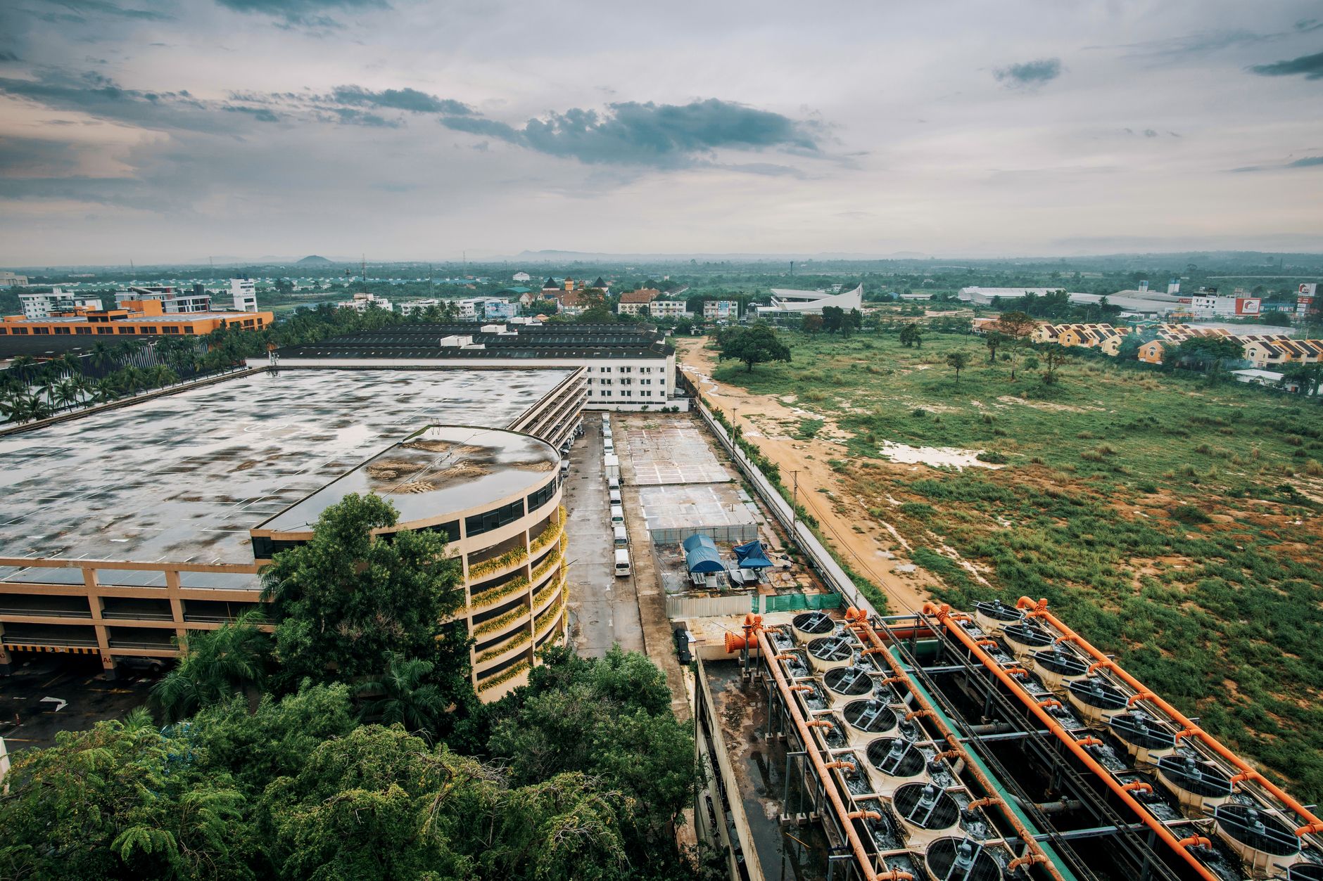
Industrial park development is one of the most complex project types to communicate clearly to a mixed audience. Developers, county planners, investors, and prospective tenants all look at the same site plan and ask completely different questions. A well-built physical architectural model answers most of those questions before anyone opens their mouth, and that efficiency matters enormously when a project is moving through approvals, financing, and tenant sign-ups at the same time.
This article is part of our complete guide: Architectural Models for Houses.
Why Industrial Parks Need Physical Architectural Models
Industrial parks bring together a wide range of stakeholders, each with a different priority and a different level of technical literacy. A developer is reading the master plan for profitability per square metre, while a county official is checking setbacks and traffic impact, and a prospective tenant is wondering whether their trucks can turn around near the loading bay. Trying to satisfy all three audiences with the same set of 2D drawings is genuinely difficult. A physical model lets each person orient themselves quickly and find the answers they care about without needing an architect to interpret every line. That shared understanding shortens meetings and reduces the back-and-forth that delays decisions.
Complex site plans for industrial parks typically include layered information: road hierarchies, utility corridors, zoning boundaries, and phased development areas. On a printed drawing, those layers stack on top of each other and become hard to read even for experienced professionals. In three dimensions, the hierarchy becomes obvious because you can see which road is a primary access route and which is an internal service lane just by looking at the model. A physical model also makes it easy to point at a specific zone and say, "this block is reserved for cold storage units," without anyone needing to decode a legend. That directness is genuinely valuable when time in a boardroom or a planning committee meeting is limited.
Models demonstrate land use efficiency in a way that raw numbers rarely can. When a site is 50 hectares and the master plan shows 40 developable plots, it is hard to feel the density and the logic of the layout from a figure alone. On a model, a stakeholder can immediately see how the plots relate to the main gate, the weighbridge, and the perimeter road, and can judge whether the layout makes operational sense. That visual logic directly influences whether an investor commits or whether a planning authority approves. It is not an exaggeration to say that a good model can move a project forward by weeks.
Key Elements to Include in an Industrial Park Model
Scale accuracy is the foundation of a useful industrial park model. Plot divisions and unit configurations need to match your master plan precisely, because tenants and investors will make real decisions based on what they see. A model that misrepresents the size of a plot relative to its neighbours, or shows a road wider than it actually will be, creates false expectations that cause problems later. At Moriasi3D Models, we work directly from the architectural and engineering drawings to ensure that every boundary, setback, and building footprint is correctly represented at the chosen scale. That accuracy is what makes the model a reliable communication tool rather than just a decorative object.
Road networks and traffic flow patterns are among the most scrutinised elements of any industrial park proposal. Investors and tenants want to know how a 40-tonne truck enters the site, where it queues, and how it exits without blocking other operations. Parking areas for staff and visitors, turning circles near loading docks, and the separation of heavy goods traffic from pedestrian routes all need to be visible in the model. Getting these elements right in three dimensions reveals conflicts that are easy to miss on a flat drawing, and allows the design team to resolve them before construction begins. A clear traffic flow story also reassures planning authorities that the park will not create congestion on surrounding roads.
Utility infrastructure is a detail that tenants care about deeply, even if it is less visually dramatic than the buildings themselves. Manufacturing and distribution businesses need to know where the main power supply enters a plot, where water connections are located, and how waste is managed. Representing these systems in the model, even at a simplified level using colour-coded conduits or clearly labelled zones, gives tenants confidence that the developer has thought through the operational requirements. It also helps engineers and the project team spot clashes between utility routes and road crossings while the model is on the table. These conversations are far cheaper to have at the model stage than during construction.
The surrounding context of an industrial park matters as much as the internal layout. Showing neighbouring roads, existing land uses, landmarks, and transport links gives the model a sense of place and demonstrates how the park connects to the wider economy. For a park in a peri-urban area of Nairobi, for example, showing the nearest Kenyan National Highways Authority road and its junction treatment tells investors and tenants exactly what their supply chain access will look like. Context also helps planning authorities assess the cumulative impact of the development on the surrounding area. A model that exists in isolation, with no sense of what surrounds it, always raises more questions than one that is firmly grounded in its real location.
Using Models for Tenant Recruitment and Marketing
Prospective tenants make leasing decisions based partly on logistics mathematics and partly on instinct about whether a place will work for their operations. A physical model addresses both. A food distribution company can look at a model and immediately see that their allocated unit is close to the main gate, has a large hardstanding area for refrigerated trucks, and sits away from the heavy manufacturing noise in another zone. That kind of spatial reassurance is very hard to communicate through a rendered image or a brochure. When a tenant can point to their future unit on a model, the conversation moves from abstract consideration to genuine negotiation.
Accessibility and logistics advantages are often the deciding factor for manufacturing and distribution businesses choosing between industrial parks. A model that clearly shows the distance from a plot to the weighbridge, the width of the internal roads, and the proximity to the perimeter fence for security fencing installation gives a tenant the information they need to estimate their operational costs. For businesses moving perishable goods or managing just-in-time inventory, those details are not minor. Presenting this information on a physical model during a site visit or a lease negotiation meeting gives the developer a distinct advantage over competitors who rely only on brochures. It signals that the developer understands how tenants actually operate.
Physical models have a quality at trade shows and investor meetings that digital presentations struggle to match. A rendered fly-through video is impressive, but it moves at its own pace and ends. A model sits on a table and invites people to lean in, ask questions, and spend as long as they need exploring the site at their own pace. At events like regional real estate and infrastructure forums, a model draws people to your stand in a way that a screen does not. The tactile experience of looking at a three-dimensional object creates a more durable memory of the project. Clients who have seen a physical model remember the layout months later in a way that viewers of a presentation often do not.
Securing Regulatory Approvals with Architectural Models
Planning and environmental authorities in Nairobi and across the region are tasked with assessing the impact of large developments on surrounding communities and infrastructure. A 3D model of an industrial park helps those authorities grasp traffic generation, land use change, and the massing of buildings far more quickly than a stack of technical drawings. When a planning officer can look at a model and see that the proposed park's main access aligns with an existing junction rather than creating a new one, that is a point scored in favour of approval. Physical clarity reduces the number of information requests and follow-up meetings that can add months to an approval timeline. That time saving has a direct financial value for any developer.
Models are a practical tool for demonstrating compliance with specific regulatory requirements. Setback distances from boundaries, the proportion of the site dedicated to green space or buffer zones, and the positioning of waste management areas relative to residential land are all requirements that planners check carefully. Representing these elements accurately in the model makes it possible to point to compliance visually rather than asking a committee to cross-reference drawings and schedules. That approach works especially well when committee members have varying levels of technical training, which is the common situation in most planning forums. A model that shows the green corridor along the perimeter, clearly distinct from the built areas, communicates regulatory compliance in seconds.
A professionally crafted model also communicates something less tangible but equally important: that the developer is serious and prepared. Planning committees see many applications, and the quality of presentation materials signals the level of care a developer has invested in the project. A detailed, accurate model of an industrial park tells a committee that the developer has engaged experts, thought through the detail, and is committed to delivering what is shown. That impression influences how questions are framed and how readily approvals are granted. It is not the only factor, but experienced project teams understand that presentation quality forms part of the overall case for approval.
Moriasi3D Models' Approach to Industrial Park Projects
Every industrial park project is different in scale, complexity, and audience, and our approach reflects that. For a project where the primary goal is investor presentation, we build at a scale that shows the overall site strategy clearly, with massing models of the unit types and the major infrastructure elements. For a project that is in detailed design and needs to support tenant recruitment, we work at a finer scale that shows individual plot configurations, loading areas, and the relationship between units. We discuss your current stage and your audience before agreeing on the scope of the model, so that what we deliver is genuinely useful rather than just visually impressive.
Our team works closely with your project engineer and architect throughout the model-making process. Industrial park drawings carry a great deal of layered information, including utility routing, phasing plans, and civil engineering details, and translating that into a clear three-dimensional form requires constant communication with the design team. We ask for the most current drawings at each stage, flag any inconsistencies we notice between documents, and confirm key dimensions before cutting or printing any component. That collaborative process protects both the accuracy of the model and the integrity of the project presentation. It also means that the model reflects the actual design intent rather than an earlier iteration.
Our experience across Kenya and the wider East Africa region gives us a practical understanding of local planning contexts, site conditions, and the kinds of questions that East African investors and authorities typically ask. We have built models for industrial and commercial developments in different counties and in neighbouring countries, and that exposure shapes how we prioritise information in every model we make. We know, for example, that road connection to the national road network is almost always the first question a Kenyan investor asks, and we make sure that connection is immediately visible on the model. That local knowledge is something that a remote model-making service cannot easily replicate. You can see more about what we offer on our services page.
Industrial park development moves faster and with fewer misunderstandings when everyone involved can see the project clearly in three dimensions. From the first investor presentation through to planning approval and tenant sign-up, a physical architectural model earns its cost many times over by shortening conversations, reducing errors, and building confidence in the project. If you are developing or planning an industrial park anywhere in East Africa, we are ready to help you build a model that carries your project forward.
See everything Moriasi3D Models can do for you.
Visit Moriasi3D Models →